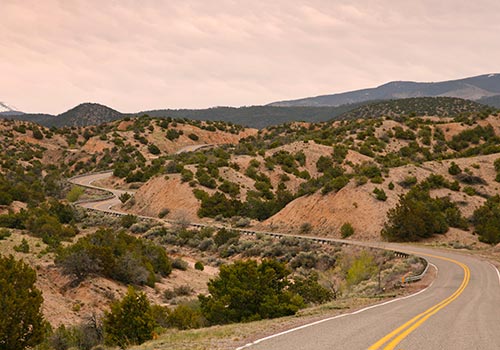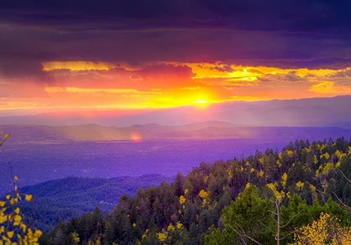
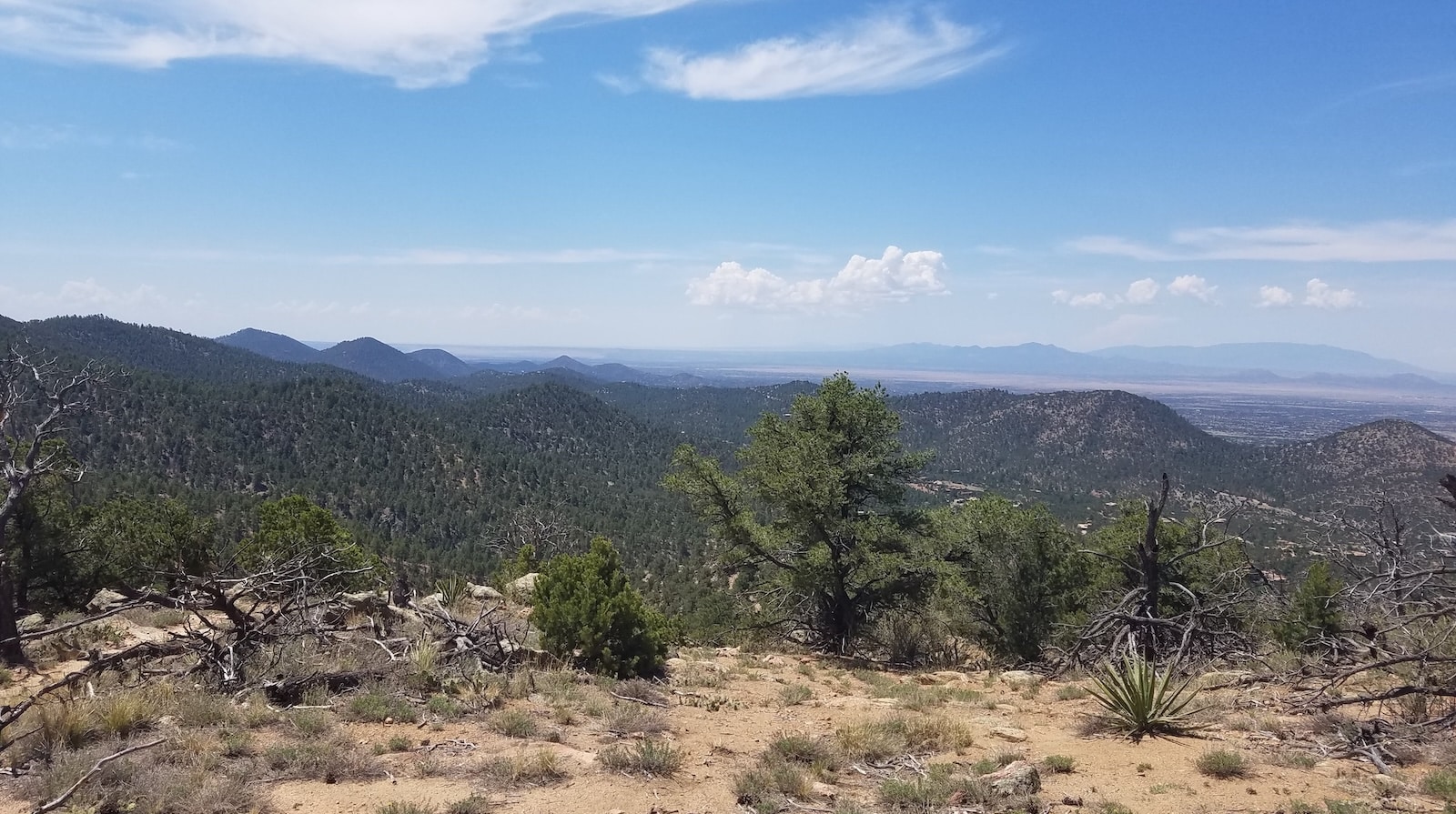
If you love the mountains, you’re in the right place. Santa Fe isn’t just a cultural destination; it’s a hiking paradise. The Sangre de Cristo Mountains rise just east of downtown, offering Santa Fe hiking trails minutes from the historic plaza. You’ll find everything here: quiet forest walks, dramatic ridgeline ascents, panoramic valley views, and wildflower-lined paths through aspen groves.
What makes hiking around Santa Fe so good? Elevation. Santa Fe sits at about 7,000 feet, and many trailheads push toward 8,500 or higher. The altitude brings cooler temperatures at higher elevations and distinctly different hiking conditions throughout the year. Spring weather can be unpredictable. Summer offers shade in the high forests but also brings afternoon thunderstorms. Fall brings golden aspens to the mountains. In winter, lower-elevation trails may remain accessible, while higher routes can hold snow and ice.
Below, you’ll find Santa Fe hiking trails organized by difficulty. Each has parking info, what to expect, and why it’s worth your time. Whether you have an hour or a full day, there’s something for you here.
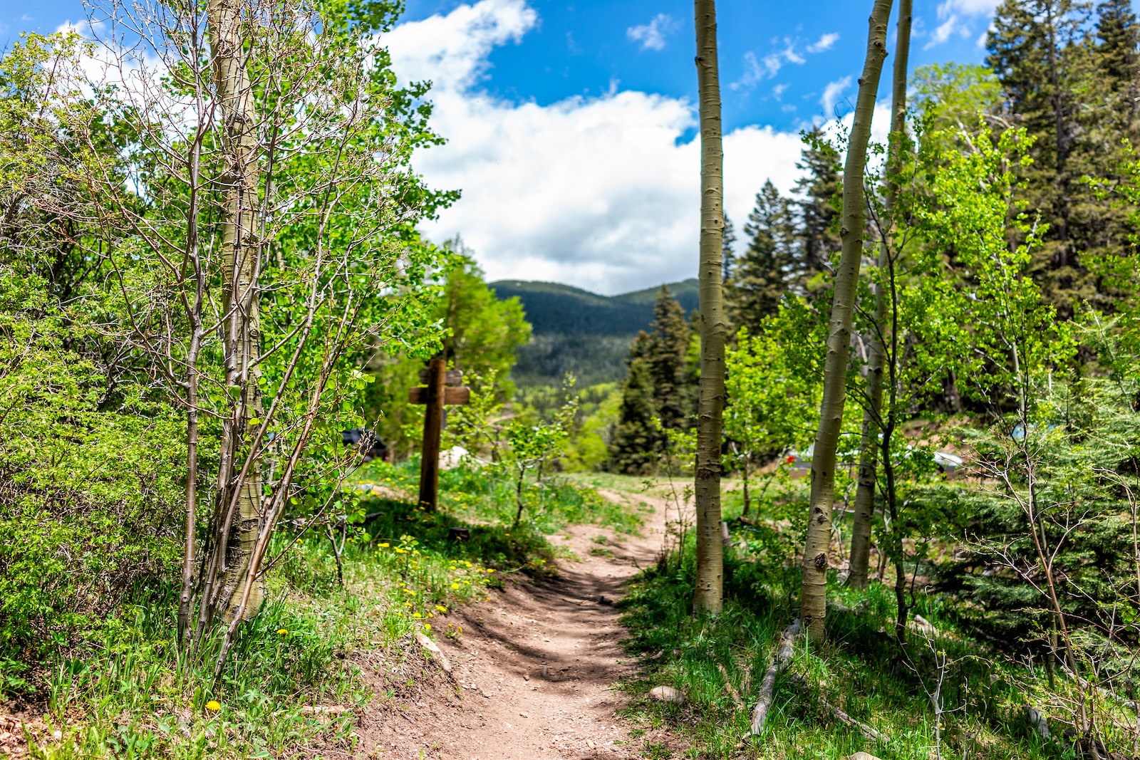
Easy Hikes: Perfect Starting Points
Dale Ball Trail System (North Loop)
Distance: Customizable, with numerous options from short walks to longer loops
Elevation Gain: Varies by route
Time: 1.5–2 hours for many shorter routes
Best For: First-time visitors, warm-up walks, multiple access points
The Dale Ball Trail system is a treasure if you live in or are visiting Santa Fe. It’s an extensive network of interconnected trails that loops through the foothills just north and east of downtown. The northern section is one of the gentler ways into the system, and it’s perfect if you want a short outing without committing to an all-day hike.
You can start at the Sierra del Norte Trailhead along Hyde Park Road. The trails climb through piñon-juniper forest, opening occasionally to views of Santa Fe and the Sangre de Cristo Mountains beyond. Because the system has numerous numbered junctions, you can string together different mileages depending on how far you want to hike.
The ground is rocky but manageable. Shade is mixed. The trailheads are well signed, although parking can be limited at popular times. On weekday mornings, you’ll often share the path with locals who run or bike. Weekends can get busier.
Pro tip: The Dale Ball system is popular with mountain bikers, so stay alert and listen for approaching riders. Winter conditions vary, and snow or ice may linger after storms.
Chamisa Trail at Hyde Park Road
Distance: Approximately 4 miles out-and-back for a shorter hike; longer routes are possible
Elevation Gain: Varies by turnaround point
Time: 2–2.5 hours
Best For: Forest hiking, beginner hikers who want a bit more elevation
Chamisa Trail begins at a Santa Fe National Forest trailhead along Hyde Park Road on the way toward the Santa Fe Ski Basin. The trail climbs through forest and can be used as a shorter out-and-back or connected with other trails for a longer hike.
The forest changes as you gain elevation, and the route provides a good introduction to hiking in the Sangre de Cristo foothills without requiring an all-day commitment.
Randall Davey Audubon Center Trails
Distance: 1.5–3 miles (variable loops)
Elevation Gain: 200–400 feet
Time: 1–2 hours
Best For: Birdwatching, family walks, those interested in conservation
This 135-acre sanctuary sits where the Sangre de Cristos meet the high desert, and it’s an excellent birdwatching destination in northern New Mexico. More than 190 bird species have been reported here over the years. The trails take you through several habitats, including meadows and ponderosa pine forest, alongside Santa Fe River Watershed and National Forest land.
Parking is free but limited, and admission to the center and trails is free, with donations appreciated. If you’re a serious birder, an early visit can be rewarding. Even if you’re not, the sanctuary offers an easy way to explore the landscape just a few miles from downtown Santa Fe.
Moderate Hikes: The Sweet Spot
Atalaya Mountain Trail
Distance: Approximately 6 miles round-trip
Elevation Gain: About 1,800 feet
Time: 2.5–3.5 hours
Best For: Accessible summit views, early morning climbs, fall foliage
This is probably one of the most popular Santa Fe hiking trails close to downtown, and for good reason. Atalaya Mountain sits minutes from the city center, with trail access near St. John’s College east of downtown, but once you’re on the trail, you feel a world away.
The route climbs from the St. John’s area through piñon-juniper scrub and into higher-elevation forest. The trail is rocky but well established, and the elevation gain provides a solid workout.
The real payoff comes near Atalaya Peak, at roughly 9,130 feet. From the high point, you can look west across Santa Fe and the Rio Grande Valley, with broad mountain views in several directions.
Arrive early to find parking, especially on weekends. Bring water, as there’s none on the trail. Layers are essential because temperatures can change considerably as you gain elevation.
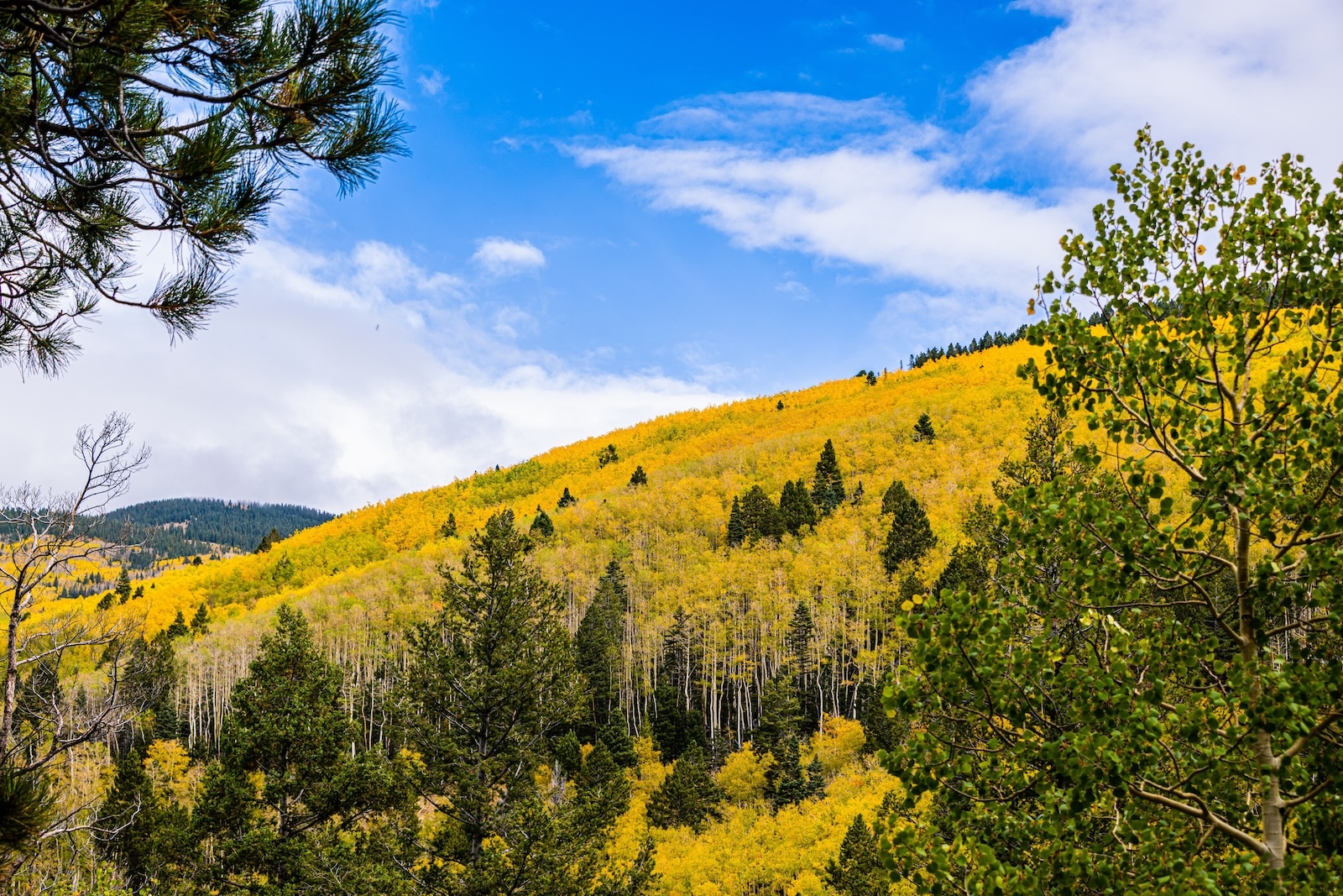
Fall hikers note: Aspen color in the Santa Fe mountains generally develops in late September and early October, although timing varies each year with elevation and weather.
Aspen Vista Trail
Distance: Customizable out-and-back; longer routes extend toward Tesuque Peak
Elevation Gain: Varies by turnaround point
Time: 2–2.5 hours for a moderate out-and-back
Best For: Fall colors, customizable hikes, high-elevation scenery
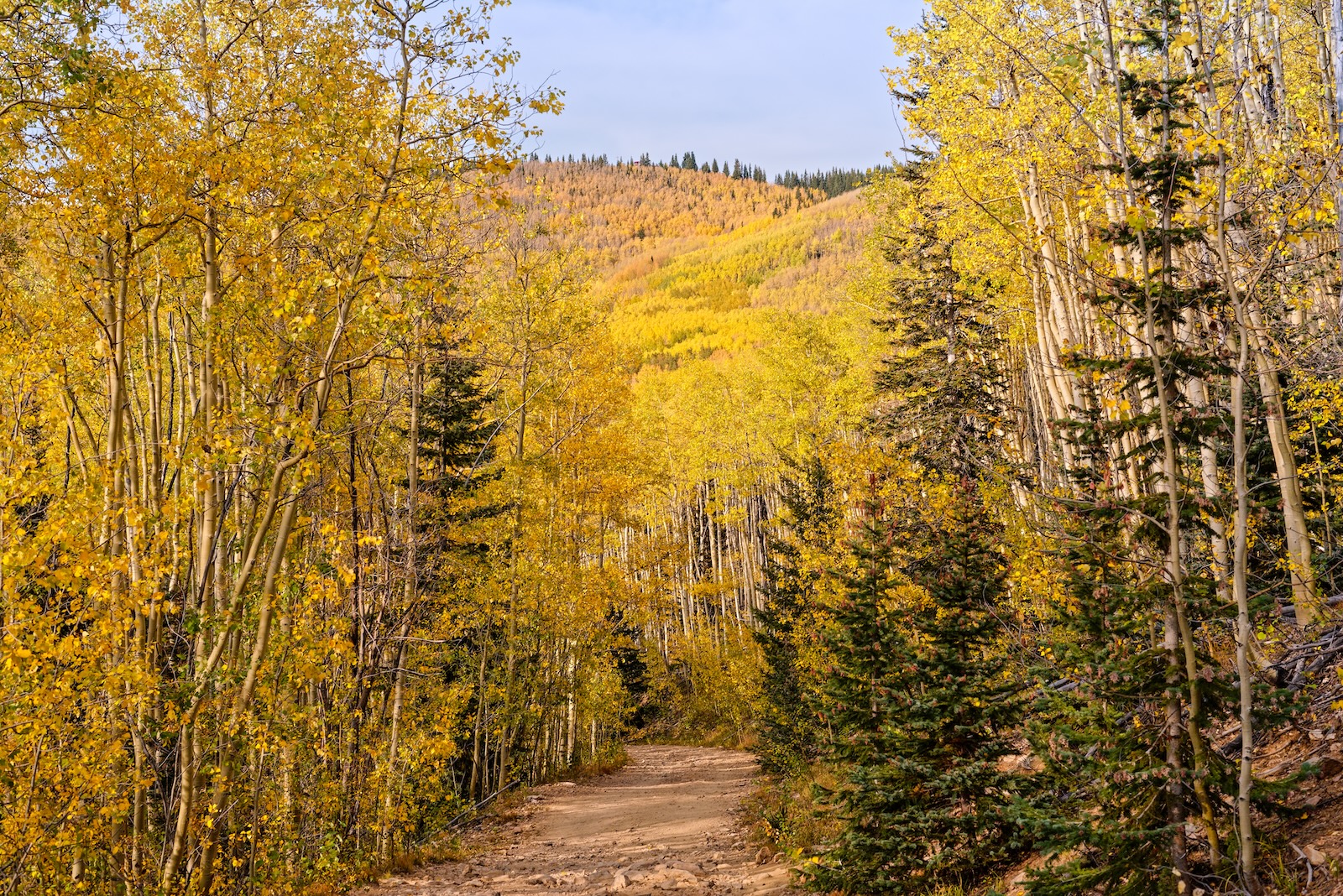
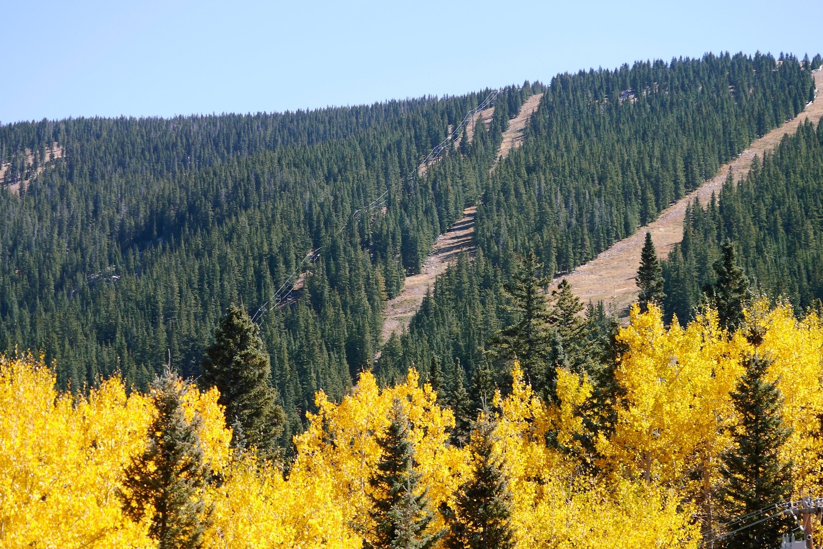
Aspen Vista is the trail people go to specifically for fall colors. The trailhead is located along Hyde Park Road just below the Santa Fe Ski Basin and provides access to high-elevation aspen forest.
For a moderate half-day, simply choose a turnaround point that fits your ability and available time. The route climbs gradually through the mountains, and hikers who want a longer outing can continue toward higher terrain and Tesuque Peak.
Fall weekends can be particularly busy, so consider visiting on a weekday or arriving early.
Dale Ball Trail System (Central Loop)
Distance: Customizable
Elevation Gain: Varies by route
Time: 2.5–3 hours for many moderate loops
Best For: Moderate hikers who want more challenge, varied terrain, longer views
If the northern section of Dale Ball feels too easy, try the more rugged central portion of the system. Using the numbered junctions, hikers can build a route that incorporates steeper and rockier sections.
The terrain gets more challenging as you climb, and viewpoints open up more frequently. The route includes rocky sections but does not require technical climbing. By the end, you’ll have earned a solid workout without needing ropes or specialized climbing equipment.
Borrego Trail
Distance: Varies depending on route
Elevation Gain: Varies
Time: 2.5–3.5 hours for a moderate outing
Best For: Quieter crowds, forest hiking, a less-busy alternative
Less crowded than Atalaya or Dale Ball, Borrego Trail offers an alternative if the main routes feel too busy. The trail is located in Santa Fe National Forest along the Hyde Park Road and Ski Basin corridor northeast of Santa Fe.
The trail travels through forested mountain terrain and can be incorporated into longer routes depending on your plans. Bring a current trail map or GPS and check Santa Fe National Forest information before setting out.
Challenging Hikes: Summit Days
Santa Fe Baldy (via Winsor Trail)
Distance: Varies by exact route; expect a long, strenuous full-day hike
Elevation Gain: Significant
Time: Full day
Best For: Strong hikers, summit goals, full-day adventures
Santa Fe Baldy is one of the major summit hikes in the mountains above Santa Fe. At approximately 12,600 feet, it offers expansive views across northern New Mexico.
Routes toward Santa Fe Baldy commonly begin in the Santa Fe Ski Basin area and use portions of the Winsor Trail before climbing toward higher alpine terrain. This is a significantly longer and more demanding outing than hikes such as Atalaya or Dale Ball.
Start early. Aim to be off exposed high terrain before afternoon thunderstorms develop, especially during the summer monsoon season. Bring plenty of water, sun protection, layers, and appropriate navigation tools. Temperatures at high elevations can be considerably cooler than downtown Santa Fe.
On clear days, the summit area offers broad views across the surrounding high country.
Wheeler Peak (from Williams Lake Area)
Distance: Varies by route
Elevation Gain: More than 2,000 feet on common summit routes
Time: Full-day trip from Santa Fe
Best For: Ambitious hikers, alpine scenery, New Mexico’s highest summit
Wheeler Peak, at 13,161 feet, is New Mexico’s highest mountain. Located near Taos rather than Santa Fe, it works best as a full-day hiking trip for visitors who want to explore farther north. One common approach uses trails in the Williams Lake area before continuing toward the summit.
This is a serious high-elevation hike. The climb becomes steep as you approach the summit, and altitude adds to the difficulty. Williams Lake is also a popular destination for hikers who don’t want to continue to Wheeler Peak.
If you’re attempting the summit, start early and watch mountain weather closely. Afternoon thunderstorms are possible during the summer months.
Atalaya Mountain to Picacho Peak
Distance: Varies depending on the route chosen
Elevation Gain: Significant
Time: Approximately 3.5–4 hours depending on route
Best For: Longer hiking, more challenge than straight Atalaya, variety in terrain
Want the Atalaya experience but with more complexity? The Atalaya and Dale Ball trail systems can be combined to explore additional high points, including Picacho Peak. Using the City of Santa Fe’s current trail map, hikers can plan a longer route connecting portions of these systems.
Valles Caldera National Preserve Trails
Distance: Varies by trail
Elevation Gain: Varies by trail
Time: 2–4+ hours depending on route
Best For: Volcanic landscapes, wildlife, alternative terrain
Roughly 1.5 hours west of Santa Fe, Valles Caldera National Preserve protects a massive volcanic caldera surrounded by forested peaks. Numerous trails explore the preserve, with options ranging from easy walks to longer backcountry hikes.
Trails and routes provide opportunities to explore open valleys, forests, volcanic features, and mountain terrain. Because access and trail conditions can change, check current National Park Service maps and trail information before you hike.
Valles Caldera charges an entrance fee, and it may accept federal recreation passes. Navigation within the preserve can be challenging in some areas, so the National Park Service recommends carrying a navigable map or GPS along with a paper backup.
One-Way Hikes & Longer Options
Santa Fe Rail Trail
Distance: Approximately 15.7 miles
Elevation Gain: Generally gradual
Time: Varies depending on the section traveled
Best For: Low-elevation alternative, biking option, longer day
If mountains aren’t your goal, the Santa Fe Rail Trail offers a different kind of scenery. The multi-use trail extends from Santa Fe south toward Lamy for approximately 15.7 miles.
The trail follows the historic and still-active Atchison, Topeka and Santa Fe Railway corridor through high-desert scenery. A new 1.78-mile segment opened in 2026, extending the trail farther toward Lamy, though an additional segment is still needed to fully connect the trail to the Lamy Train Station.
Most people hike or bike a portion of the trail and turn around rather than covering the entire distance. The exposed terrain can become hot during summer, making spring and fall particularly appealing times to explore it.
La Tierra Trail Network
Distance: Variable, with more than 25 miles of trails
Elevation Gain: Varies by route
Time: 1–3+ hours depending on route
Best For: Network exploration, hiking, mountain biking
La Tierra is an interconnected trail network in the northwest quadrant of Santa Fe. With more than 25 miles of trails, you can customize your distance and difficulty by choosing which routes to connect. The network is open to hikers and cyclists, with equestrian use allowed in some areas.
You can access the trail from several points, including Camino de los Montoyas and the Dog Park Connector Trail. Check the Santa Fe Conservation Trust or City of Santa Fe for current maps and access information.
Seasonal Considerations
Fall (September–November)
Fall is a popular time for hiking around Santa Fe, with cooler temperatures and changing aspens at higher elevations. Aspen Vista and other high-elevation routes in the Sangre de Cristo Mountains are particularly popular during fall color season. Exact timing varies from year to year based on elevation and weather conditions.
Winter (December–February)
Lower-elevation Santa Fe hiking trails may remain hikeable during portions of winter, while higher-elevation routes can hold significant snow and ice. Bring appropriate layers and equipment, and check current conditions before heading out. North-facing sections may remain icy longer after storms.
Spring (March–May)
Spring weather can be unpredictable. Mornings can be cold or snowy, while warmer conditions may develop later in the day. Winds can also be strong, particularly in exposed areas. Check trail and weather conditions before heading into higher elevations.
Summer (June–August)
Lower elevations can become hot, while higher mountain Santa Fe hiking trails remain cooler. Afternoon thunderstorms are common during the summer monsoon season, so an early start is especially important for hikes that cross exposed high terrain.
Planning Your Hike
What to Bring
- Water: Carry plenty for the distance, temperature, elevation, and difficulty of your hike
- Sun protection: sunscreen, hat, sunglasses
- Layers: Santa Fe weather changes fast
- Snacks or lunch
- Headlamp or flashlight for longer outings
- Map or GPS device
- First aid basics
Altitude Acclimatization
Santa Fe sits at roughly 7,000 feet, and many trails climb well above 10,000 feet. If you’re arriving from a much lower elevation, take it easy when you first arrive, stay hydrated, and pay attention to how you feel. Acclimatization varies from person to person.
Finding Your Trail
If you’re new to the area, local visitor resources can help you choose a trail based on your fitness level and interests. The City of Santa Fe, Santa Fe Conservation Trust, U.S. Forest Service, and National Park Service provide maps and information for many of the trails in this guide. Weather can change conditions quickly, so check current trail and agency information before leaving.
Parking & Permits
The Santa Fe hiking trails in this guide cross land managed by several different organizations, including the City of Santa Fe, U.S. Forest Service, National Park Service, Santa Fe County, and private conservation organizations. Parking requirements, entrance fees, seasonal access, and closures vary, so check with the managing agency before your hike. Parking at popular trailheads can become limited on weekends and during peak fall color season.

Your Starting Point: Four Kachinas Inn
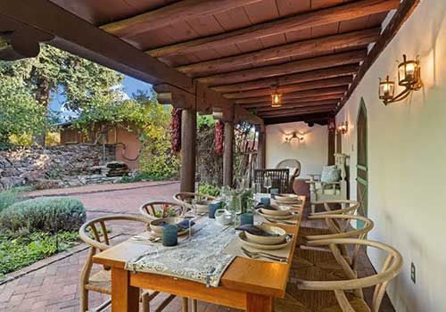
Whether you’re headed out for a quick morning hike or an all-day alpine adventure, you need a comfortable base. Four Kachinas Inn is located in Santa Fe’s downtown historic area, just south of the State Capitol and within walking distance of the Plaza, galleries, shops, restaurants, and historic sites.
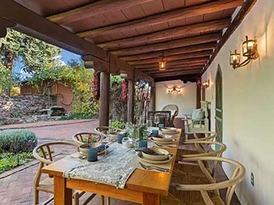
Our Bed and Breakfast in Santa Fe, NM, has six guest rooms featuring regional art, handcrafted furnishings, private baths, and modern comforts. Four rooms have private outside entrances, while two are located in the historic Digneo House. After a day on the trail, you can return for a hot shower and wake the next morning to a fresh, homemade breakfast. We also help guests plan their time in Santa Fe and offer recommendations for local outings, restaurants, and other activities.
Book your room today!